
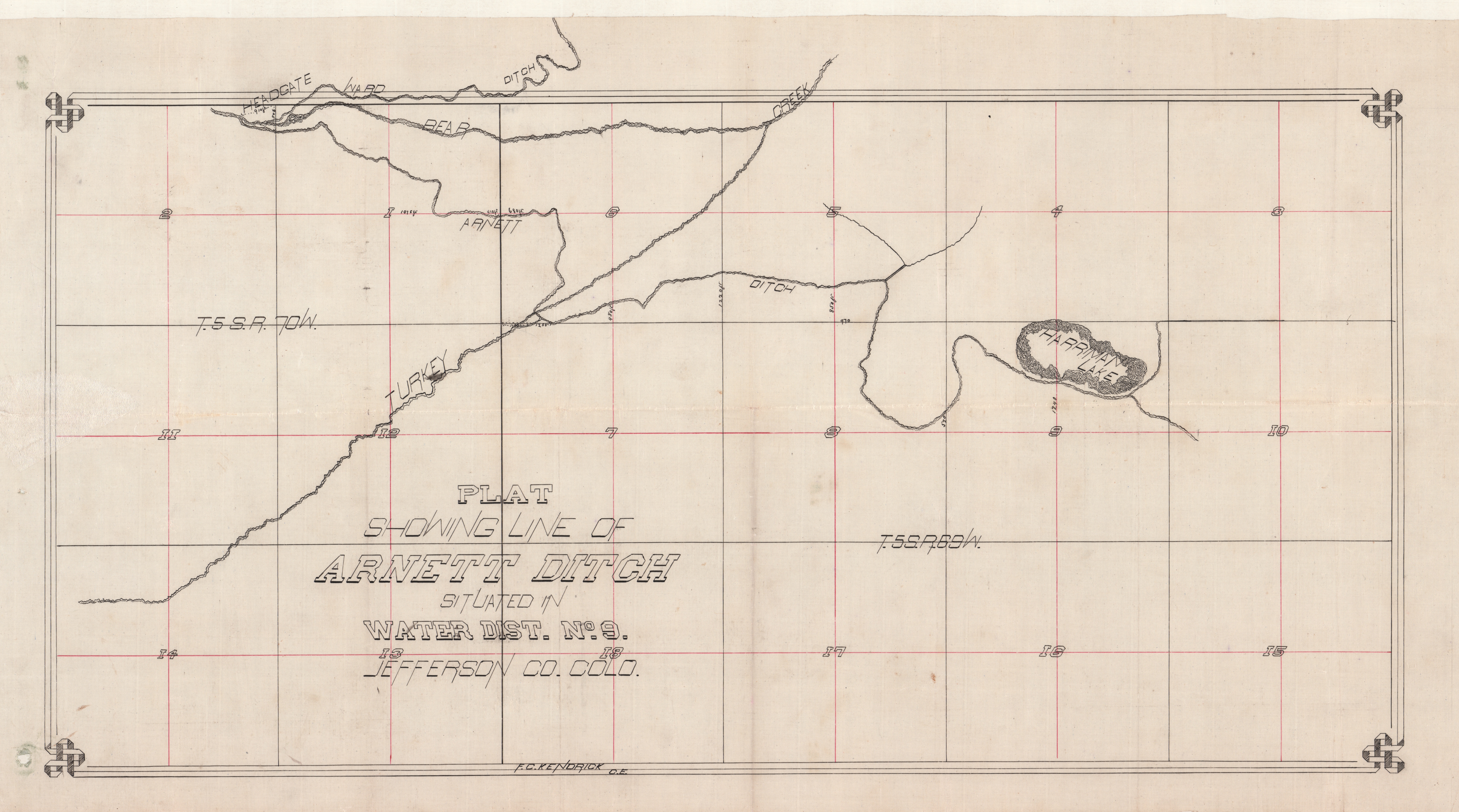
Ditches and Reservoirs in Jefferson County
Plat maps and statements of claim to water rights for ditches, reservoirs and water supply sources located in Irrigation Division No. 1, South Platte River Basin, and recorded in the Jefferson County Clerk and Recorder’s Office. Includes Water Districts 1 (South Platte: Greeley to Balzac); 2 (South Platte: Denver Gage to Greeley); 3 (Cache La Poudre River); 6 (Boulder Creek); 7 (Clear Creek); 8 (South Platte: Cheesman to Denver Gage); 9 (Bear Creek); and 23 (Upper South Platte). Plats show water sources, railroad lines, cities and towns and other geographical features. They also sometimes list property owners’ names.
Your search has also found results in related AM products.
Show me the results